We explore the physical geography of the Americas, and explain how the major landforms were shaped. In addition, we describe their geologic features.
What is the physical geography of the Americas like?
The physical geography of the Americas is remarkably diverse. Among its main land features are the Andes, which run north-south along the western portion of South America, and the great plains in the east. The average elevation is 2,460 feet (750 m) above sea level.
The Americas present very old landforms, such as the Canadian Shield in North America and the Guiana Shield in South America, which date back to Precambrian times and are composed of rocks over 600 million years old. These landscapes are characterized by low elevation and gentle slopes.
Conversely, the higher and steeper landforms of the continent are younger in geologic time, and are marked by important seismic and volcanic activity.
Frequently asked questions
What is the highest peak in the Americas?
Mount Aconcagua, in Argentina, at 22,831 feet (6,959 m) high.
How long is the Andes Mountain Range?
Stretching over 4,350 miles (7,000 km), it is the longest mountain range in the world.
What is the oldest landform in the Americas?
The Canadian or Laurentian Shield, formed by rocks over 3,500 million years old.
- See also: Physical geography of Europe
Characteristics of the land relief of the Americas
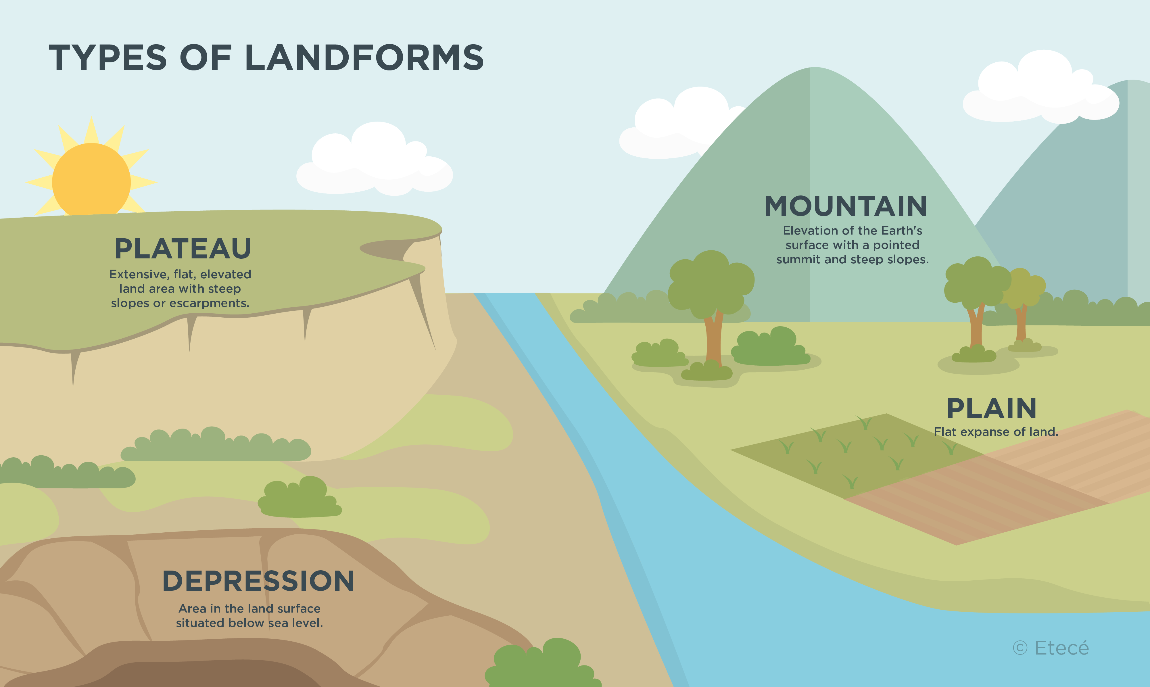
The land relief of the Americas is made up of three major types of landforms: plains, plateaus, and mountain and volcanic chains.
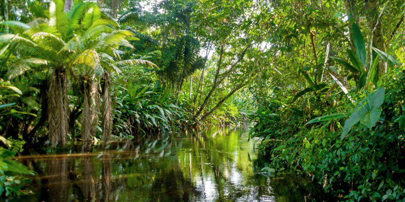
- Plains. They spread over much of the central and eastern portion of the Americas. They cover a total area of about 6.6 million sq mi (17 million km2), which accounts for 40% of the continent’s total. These plains are young in geologic time, as they were formed during the Cenozoic Era. They are traversed by major rivers including the Mississippi, Amazon, and Paraná.
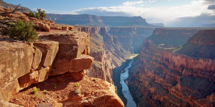
- Plateaus. They are composed of very old massifs formed during the Precambrian and Paleozoic eras. These landforms are highly eroded and are relatively flat, without the presence of high elevations. The Canadian Shield, the Altiplano, and the Patagonian Massif are some of the most important plateaus on the continent.
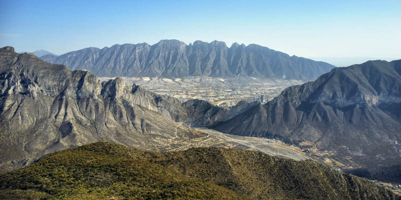
- Mountain and volcanic ranges. Parallel to the Pacific Coast run the Andes. This mountain range is young in the geologic time scale, forming in the Cenozoic Era as a result of the collision between tectonic plates. It consists of high-altitude mountains and volcanoes.
Mountains, plateaus, and plains of the Americas
The major landforms of the Americas are:
|
Plains |
|
|
Plateaus |
|
|
Mountains |
|
How was the land relief of the Americas shaped?
The Americas lie on the North American, South American, Caribbean, and Pacific plates. The movement and convergence between these plates and those of the Atlantic and Pacific Oceans (the Nazca, Cocos, Scotia, and Juan de Fuca plates) shaped much of the continent's highest elevations.
The Andes and the Cordillera formed as a result of the collision between the South American plate and the Nazca plate, and, in turn, the North American plate with the Pacific plate. This geologic process is relatively recent, having occurred during the Cenozoic Era in the Tertiary Period, about 65 million years ago.
The formation of the mountains and volcanoes that make up the Andes and the Cordillera was followed by the emergence of the extensive plains in the central and eastern portion of the continent. Most of these lowlands were shaped during the Cenozoic Era in the Quaternary Period, about 2.5 million years ago.
Explore next:
Was this information useful to you?
Yes NoThank you for visiting us :)