We explain what the continents are, and explore their main characteristics. In addition, we discuss the origin of their names, and boundaries.

What is a continent?
A continent is a large dry expanse of land separated from another landmass by oceans or major geographical features.
With the exception of Antarctica (which has a cold climate all year round and has no permanent population), each continent presents a wide variety of geographical features, climates, languages, and cultures within their territories.
Various models exist to determine the number of continents:
- 4 continents. America, Antarctica, Eurasia (Europe, Africa, and Asia), and Oceania.
- 6 geological continents. Africa, North America, South America, Antarctica, Eurasia (Asia and Europe), and Oceania.
- 6 continents. Africa, America, Antarctica, Asia, Europe, and Oceania. It is the traditional model and the one used in this text.
- See also: Iceland
Geological formation of the continents
In 1915, German meteorologist Alfred Wegener published his "The Origin of Continents and Oceans". In that book, Wegener postulated his theory that the continents had not always been separated as they are today, but that at some point in the geological past they were joined, forming a single supercontinent.
Wegener named this supercontinent "Pangaea" and estimated that it began to break apart approximately 200 million years ago. This meant for Wegener that continents could move, and therefore they had drifted apart from Pangaea to their current locations.
Throughout the 20th century, other theories appeared confirming Wegener's idea, which led to a general consensus on the geological formation of continents. Today, it is known that Earth's crust is divided into tectonic plates, and that beneath the crust lies the mantle, primarily composed of a semi-plastic material called "magma".
Due to differences in pressure and temperature, magma moves within the interior of the Earth. Tectonic plates also move, as they lie on magma, leading to their drift from Pangaea to their present locations.
The movement of tectonic plates caused significant changes on Earth's surface. For example, the Atlantic Ocean was formed, which did not exist during Pangaea's time, and a large number of volcanic and mountain ranges originated as a result of the collision of tectonic plates.
Africa
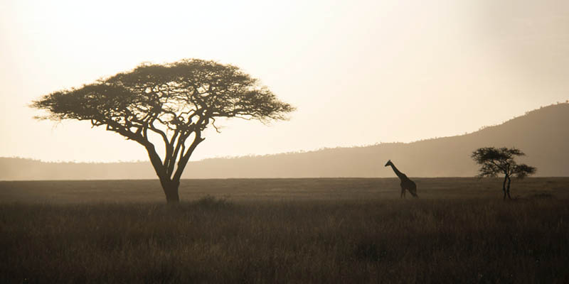
Africa is a continent entirely bounded by seas and oceans, as it is situated between the Atlantic Ocean (which surrounds it to the west), the Indian Ocean (which surrounds it to the east) and the Mediterranean Sea (which surrounds it to the north, separating it from Europe). In addition, it is separated from Asia by the Red Sea and the Isthmus of Suez.
Africa has a total area of 11,688,440 square miles (30,272,922 km2), and a population of over 1.32 billion. The continent comprises 54 countries. Though its relief is predominantly made up of plains, there are also mountain ranges such as the Atlas Mountains, and the East African mountains, where Mount Kilimanjaro, at 19,324 ft (5,890 m), is the highest peak on the continent.
Due to its rainy climate and predominantly flat relief, Africa is characterized by the presence of long and large rivers. The longest is the Nile, the second-longest in the world at 4,132 miles (6,650 km) long, followed by the Congo, and the Niger.
- See also: Africa
Americas
This continent is entirely surrounded by oceans: the Arctic Ocean to the north, the Pacific Ocean to the west, the Atlantic Ocean to the east, and the confluence of the Atlantic and Pacific Oceans to the south.
Its topography features an extensive mountain range running north-south across the westernmost portion of the continent. This range is known as the “Rocky Mountains” in North America and the “Andes Mountains” in South America.
The Americas are also noted for the presence of long and large lowland rivers. The longest on the continent are the Amazon (the world’s longest), the Mississippi, and the Paraná.
The surface area of the Americas is 16,409,000 square miles (42,500,000 km2), and is divided into three subcontinents:
- North America. With a huge surface area of 9,537,000 square miles (24,700,000 km2), it is made up of Canada, Mexico, the United States, and Greenland. It has a population of approximately 500 million people.
- Central America. It is the region with the smallest surface area in the Americas, with 309,000 square miles (800,000 km2), and about 105 million inhabitants. It comprises 20 independent countries. Central America is an area of frequent volcanic and seismic activity. Due to its proximity to the equator, it is characterized by a warm and humid climate.
- South America. Covering an area of 6,873,000 square miles (17,800,000 km²), it has a population of over 423 million people distributed in 12 countries. It is home to the Aconcagua, the highest peak in the Americas.
- See also: Americas
Antarctica
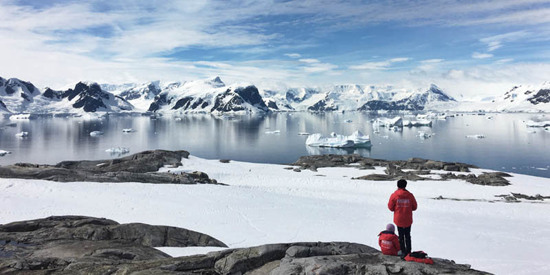
Antarctica is a continental landmass and a group of islands located around the South Pole. The entire continent is covered in ice and is only inhabited by organisms adapted to extreme climatic conditions.
With an area of over 5.4 million square miles (14 million km2), Antarctica is the only continent without a permanent population. It only has temporary residents, whose number vary between 1,000 and 4,000 depending on the season. Most of them are members of scientific expeditions sent by the countries governing some area of the Antarctic continent, such as Russia, Chile, the United States, Argentina, and Australia.
- See also: Antarctica
Asia

Asia is the largest continent by area, covering 17,197,430 square miles (44,541,138 km2). It is also the largest continent by population, with 4.5 billion inhabitants. It is bordered by the Arctic Ocean to the north, the Indian Ocean to the south, the Pacific Ocean to the west, and the Ural Mountains to the east.
Asia is made up of 48 countries, and its relief is dominated by plateaus and plains, though there are also high-altitude areas with mountain ranges in the central and western areas. The Himalayas mountain range is home to Mount Everest, which at 29,029 feet (8,848 m), is the highest peak on the planet.
The continent’s vast expanse and predominantly humid climates determine the presence of large hydrographic basins and long rivers. The longest are the Yangtze, Yellow, and Mekong rivers.
- See also: Asia
Europe

Europe is located in the Northern Hemisphere. It is the second-smallest continent, covering an area of 4,066,000 square miles (10,530,751 km2). It has a population of 740 million, with a population density of 179.5 inhabitants per square mile (70 inhabitants per square kilometer).
It consists of 47 countries and other states such as Monaco and the Vatican, which are territories with special status. Its relief features Mount Elbrus, with a height of 18,480 feet (5,633 meters) above sea level, in the Caucasus region.
As a result of the great variety of landscapes and prevailing climate, Europe contains a large number of rivers of varying flow and length. The longest in Europe are the Volga, the Danube, and the Ural.
- See also: Europe
Oceania

Oceania is the smallest continent, with an area of 3,359,000 square miles (8,700,000 km2) and a population of approximately 42 million. It is composed of a central continental shelf (Australia) and the islands of New Guinea, New Zealand, Micronesia, Melanesia, and Polynesia.
Australia accounts for 89 % of Oceania's surface. Its relief consists of a large plateau, plains, and a Great Dividing Range. Most of the islands that make up the continent are mountainous and volcanic, known for their paradisiacal landscapes.
Due to the continent's geological and climatic features, there are no large rivers. The longest is the Murray River in Australia, flowing for 1,553 miles (2,500 km).
- See also: Oceania
How did the continents get their names?
In most cases, there is no agreement on the origin of the names of the continents, and there are various explanations accounting for their etymology.
- Africa. Some historians believe it was named thus by the Romans after the Afri people they encountered in that territory. Hence "Africus" would be the land of Afri. Others claim that it comes from the Greek meaning "where the sea foams". It is also believed to have originated from the Latin term africus, meaning "southern wind".
- Antarctica. Its name comes from the Greek word antarktikos, meaning "opposite to the north".
- America. Named in honor of Amerigo Vespucci, who first suggested that the landmass reached by European expeditions was a new continent rather than an undiscovered portion of Asia.
- Asia. It is believed that the name was first used by Herodotus to refer to the Persian Empire, and later became widespread throughout the continent. Another theory suggests that it could have come from a nymph in Greek mythology called "Asia". Other scholars hold that it would have derived from the Akkadian term asu, meaning "east".
- Europe. Some historians hold that the name comes from the Phoenician term ereb, meaning "evening" or "west", in reference to the western location of the continent in relation to Phoenicia. Another theory proposes that the name might be connected with a Greek goddess named "Europa".
- Oceania. The name is believed to have derived from the Greek word okeanos meaning "ocean".
References
- García Barcala, J. (2017). ¿De donde salieron los nombres de los continentes? CienciaHistorica
- Merino, A. (2022). ¿Cuántos continentes hay en el mundo? ElOrdenMundial
- Valverde, S. y otros (2010). Una geografía del mundo para pensar. Kapelusz.
Explore next:
Was this information useful to you?
Yes NoThank you for visiting us :)